Instead of writing a chronological account of my first few days, I thought I'd write more topically. As I said, Khartoum felt pretty hot those first moments, but it's the kind of heat that is just extra warm, not piercing hot. That's the only way I can think to describe it. I find that the heat is a lot more manageable than I'd expected. I'm blessed to have a powerful ceiling fan and air conditioning in my bedroom, which helps my heat-sensitive laptop to function. Thursday night, my housemate Tanya and I ran out of electricity units, so we didn't have electricity until she went to buy some in the morning. But, Elhamdu li-Allah (praise to God), I was able to sleep fine that whole night, and only woke up once. Friday I experienced my first sandstorm. Everything went hazy and dust filled the air, and I was grateful for my scarf to keep most of the dirt off my face, but my clothes were pretty dusty by the time I got home.
The best way I can describe the city is to say that it's like Limbe (Malawi) with a mixture of Blantyre City Centre and Blantyre market (also Malawi) times 10, because it's so much bigger. Most of the city that I've seen is just streets and streets of little shops. To me, the city centre doesn't seem to end; it's like Limbe 10 times bigger. For the most part, buildings look old (I think it's because of the dust), so it was neat to pass "Gaddafi's Egg," the beautiful hotel built by the Libyans and several other large pretty buildings. The roads are really nice, and many of them are 3 or 4 lane, one way (as in 6 or 8 lanes across). Most of them are paved, and I've noticed very few potholes.
The first time I saw the Nile from the ground was yesterday, Friday, when I went to Omdurman, across the White Nile from Khartoum, and Bahri, across the Blue Nile from Khartoum.
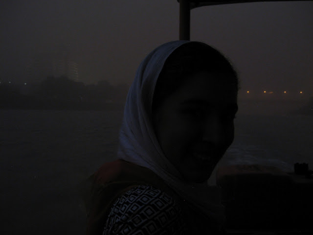
It was also the first time I saw vegetation. I'm not sure, but there appears to be a lot more vegetation in Bahri and even Omdurman than in Khartoum. And we drove to Tutti Island, which is basically a farming area between the three cities. From there we got a ferry, but the sandstorm had started and dusk had fallen so it was pretty hard to see. In the background of this picture, you can faintly see Gaddafi's Egg (it's egg-shaped).


Is Bahri north of Khartoum?
ReplyDeleteI think I saw Qaddafi's Egg on google maps just beside the bridge to Tutti Island.
How close is your flat to the university?
Yes, on English maps I've seen Bahri called "Khartoum North." Yes, that's exactly where Qaddafi's egg is. I actually remember when the BBC wrote an article about the bridge's construction, so I recognized it and the egg when we got there. I hear it has a different name now that the guy is dead, but not sure what it is.
ReplyDeleteIf you look at Google maps, my flat is east of the airport and about 10 minutes away from work by bas. My work is just across from the main UofK campus, which is also listed on Google maps, just south of the Blue Nile.